Nachtoog

For people who look up

This is the sky over Dendermonde.

Not an impression: this image is calculated from the light pollution over your own town. What you see here is what you see tonight from your garden.

There is one 63 km away that is 8.8 times darker. Nachtoog shows you the way, and tells you when it will be clear.

The buttons do not work yet — the app is not in the stores. Free on release, no account needed.

What you are missing

Two skies, the same stars

On the left, what you see at home. On the right, what you see at the nearest place dark enough to matter. They are exactly the same stars — more of them simply get through on the right.

Where you are Bortle 7 city edge — no sight of the Milky Way (18.5 mag)
A drive away Bortle 4 rural with glow — the Milky Way faintly visible (20.8 mag)

Dendermonde sits under a Bortle 7 sky. The nearest place on land with a Bortle 4 sky is 63 km away — where the sky is 8.8 times darker. See that spot on the map — it is always on land, because open water emits no light at all and would otherwise always be the nearest dark place, while you cannot set up a tripod on it.

Why it goes wrong

Two hours of driving for a sky you already had at home

You pack the telescope, you drive out, and when you get there it is overcast. Or the moon is full. Or the field that looked black on the map turns out to sit inside the light dome of a town twenty kilometres away.

That last one is the cruellest of the three, because you only find out once you are standing in it. A satellite measures what shines straight up. What ruins your night is light that goes up kilometres away and scatters back down through the atmosphere. Ordinary light pollution maps do not show that.

18,5 magnitudes per square arcsecond over Dendermonde — Bortle 7, no trace of the Milky Way
63 km to the nearest place on land with a Bortle 4 sky
8,8 × darker — enough to bring the Milky Way back

What each kilometre buys you, starting from Dendermonde

At home18.5 mag
9 km1.6× darker
25 km4.1× darker
41 km7.0× darker
73 km11.2× darker
100 km12.3× darker

How much darker than home, at the best point within that distance. The gain is all in the first forty kilometres — beyond that it barely improves, which is exactly what you want to know before you get in the car.

Where it is dark

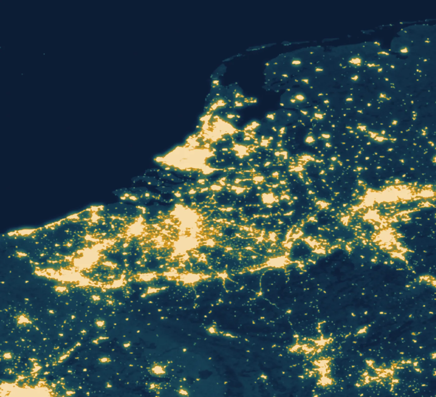
The Low Countries, seen from space

Every amber smear is a town lighting up the sky around it. Every deep-blue patch is an evening worth the drive. Nachtoog adds the scattering on top, because the glow reaches further than the light.

The Low Countries seen from space at night. The Randstad, the Antwerp–Brussels–Liège axis and the edge of the Ruhr burn amber; the Ardennes, Zeeland and the North Sea stay deep blue.
VIIRS night-lights measurements, NASA EOSDIS GIBS. This is the map the app runs on — not an illustration.

What it works out for you

Six things, not twenty-six

Dark where it is actually dark

The map does not show the satellite reading but the sky as you will see it. The glow of every town around you is modelled in using Walker's law, out to hundreds of kilometres.

Calibrated against measured sites across the Low Countries. On check sites held back from that calibration it lands within three tenths of a magnitude.

One score per night

Cloud cover, moonlight and darkness are not three separate lists to cross-reference but three contributions to the same question. Nachtoog adds them the way physics does and gives you a single score for each of the next seven nights.

The moon simply counts

A full moon makes the darkest sky as bright as a suburb. That does not sit in a separate calendar for you to check — it is built into the score, along with the hours it rises and sets.

Works without a signal

The whole map and every calculation for the sun, moon and planets live inside the app. In a field in the Ardennes without a bar of reception everything keeps working. Only the forecast comes from outside, and the last one fetched stays put.

What there is to see

Meteor showers and their peaks, which planets are above the horizon and in which direction, and when the space station passes over. With a note on whether that night is worth the trip at all.

Your own spots

A field you found yourself is worth more than the best point on any map. Save it, rate it for access and safety, and let the navigation app you already use take you there.

The same map, close up

What burns amber costs you the Milky Way

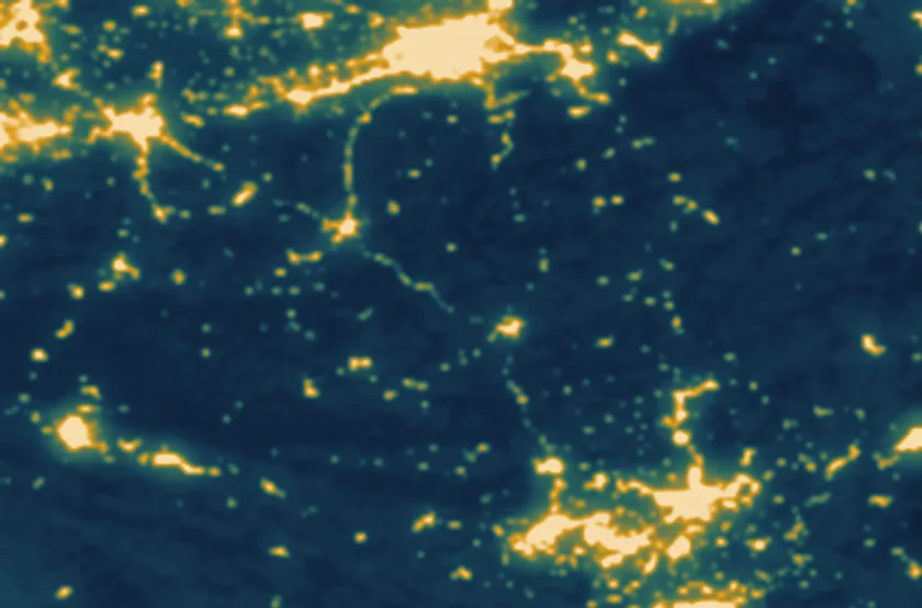
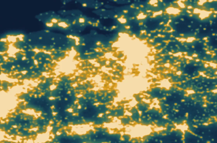
Crop over the Flemish Diamond: Ghent, Antwerp, Brussels and Leuven form one continuous amber smear with no dark gap between them.
The Flemish Diamond. Between Ghent, Antwerp and Brussels there is no dark gap left to find.
Crop over the Ardennes: large deep-blue expanses, with light only along the valleys and villages.
The Ardennes. The darkest Belgium has to offer, a little over an hour from Brussels.
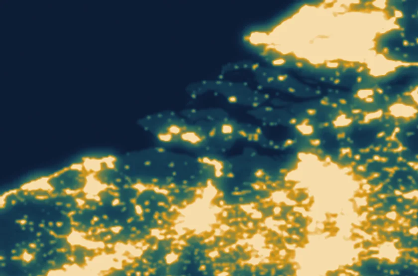
Crop over Zeeland: the islands lie dark between the water, with the glow of Antwerp along the lower edge.
Zeeland. The islands sit dark between the water — the nearest Bortle 4 for Antwerp, Ghent and Dendermonde.

What it costs

Free, and it stays that way

Nachtoog

€ 0

  • The full map, nothing held behind a lock
  • The seven-night outlook
  • Moon phases, planets and meteor showers
  • Save your own spots
  • No account, no sign-up
  • With unobtrusive advertising

Ad-free

Later price not set

  • Everything in the free version
  • Without advertising
  • One-off, not a subscription

There is no price on this page that has not been decided. As soon as it is, it will be here.

Questions

What people want to know

Where does the light pollution data come from?

From VIIRS night-lights measurements made by NASA's Suomi-NPP satellite, distributed through NASA GIBS and the Earth Observation Group at the Colorado School of Mines. Those measure light shining straight up. What actually spoils your view is light that scatters sideways through the atmosphere, and Nachtoog models that itself.

Why does it give a different number from other light pollution maps?

Because most maps show the raw satellite reading. A field five kilometres outside Brussels measures dark and still sits under the city's glow. Nachtoog models that scattering using Walker's law, where a source's contribution falls off with distance to the power of 2.5.

The model is calibrated against five measured sites across the Low Countries. On four check sites held back from that calibration it is off by three tenths of a magnitude on average. For the question «where is it darker» that is plenty; for scientific work it is not, and we would rather say so ourselves.

Does it work without a signal?

The map does, deliberately. Anyone watching the stars is by definition far from anywhere, and that is exactly where the network drops out. The whole grid ships inside the app, as do the calculations for the sun, moon and planets. Only the weather forecast needs a connection, and the last one fetched is kept for the road.

Which area is covered?

Belgium, the Netherlands, Luxembourg and the surrounding border regions. The glow from Paris, London and the Ruhr is modelled in even though those areas fall outside the map — otherwise the edge of the covered area would look darker than it really is.

Do I need an account?

No. Nachtoog works from first launch with no sign-up and no email address. Your saved spots stay on your device, and the button to wipe everything sits in the settings.

What does it cost?

The app is free and paid for by advertising that is designed into the layout rather than dropped on top of it. An ad-free version will follow for a one-off payment; that amount has not been settled, which is why it is not printed here.

Why does the app sometimes show no dark night at all?

Between mid-May and late July the sun does not drop far enough below the horizon at these latitudes, so astronomical darkness never arrives. That is not a fault but a fact of the Earth's tilt. Nachtoog says so plainly and falls back to the darkest hours there actually are.

Is this the same as a star chart?

No, and it does not replace one. A star chart tells you what you are looking at once you are outside. Nachtoog tells you where and when it is worth going — the decision you make at home on the sofa.
There is a sky waiting for you. Forty-five minutes away.

Since2005

Nachtoog is an app by Noappy, the app arm of Nonius BV in Dendermonde, Belgium. We have been building software since 2005 for people who use it to get something real done.

A question about the data, the model or the app? Write to info@nonius.be and someone who built it will answer.

Find the darkest sky near you.Free on release, no account needed.